 |
| Previous Image | Next Image |
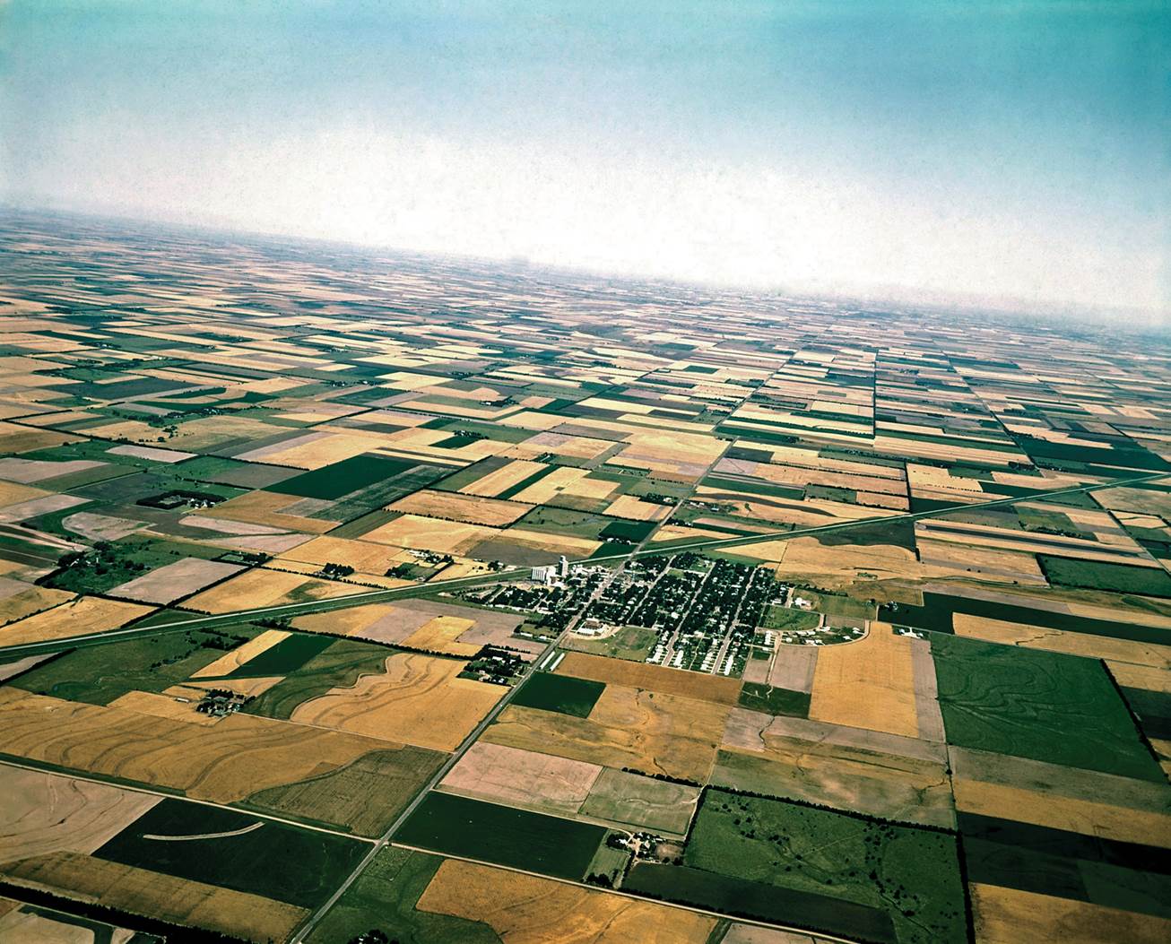
| Description: The Land Ordinance of 1785 called for surveying and dividing the Western Territories into square mile subdivisions—640 acres. These were further subdivided and sold as forty-acre tracts. Few pieces of legislation have left a more visible imprint upon the landscape. Today’s Midwest, as seen from an airplane, resembles a patchwork quilt of forty-acre squares, as in the section of Kansas shown here.
Picture Stats: Views: 784 Filesize: 225.86kB Height: 1053 Width: 1306 Source: https://biology-forums.com/index.php?action=gallery;sa=view;id=22250 |
