Answer to Question 1
Answer: I'd expect some variation on this diagram from the text:
Answer to Question 2
Answer: First I would measure the amount of time that elapsed between the arrival of the first P wave and the arrival of the first S wave on seismogram 1. Then I would use the chart showing P and S wave travel times versus distance to determine the distance from seismogram 1 to the epicenter. Then I would repeat that with seismograms 2 and 3. Finally, I would triangulate the distances, using three circles of different radii, and the point where all three circles intersect would be the epicenter.

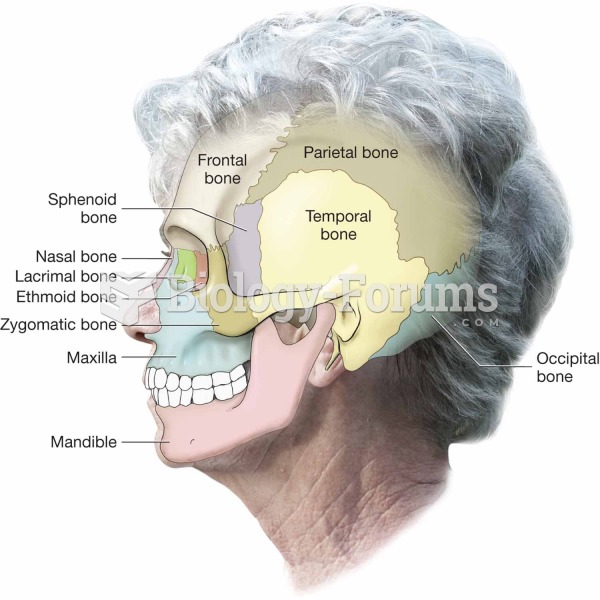 Side view of the cranium and facial bones.
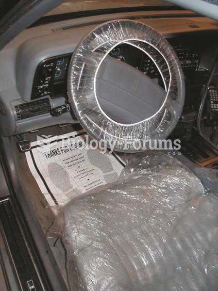 Covering the interior as soon as the vehicle comes in for service helps improve customer ...
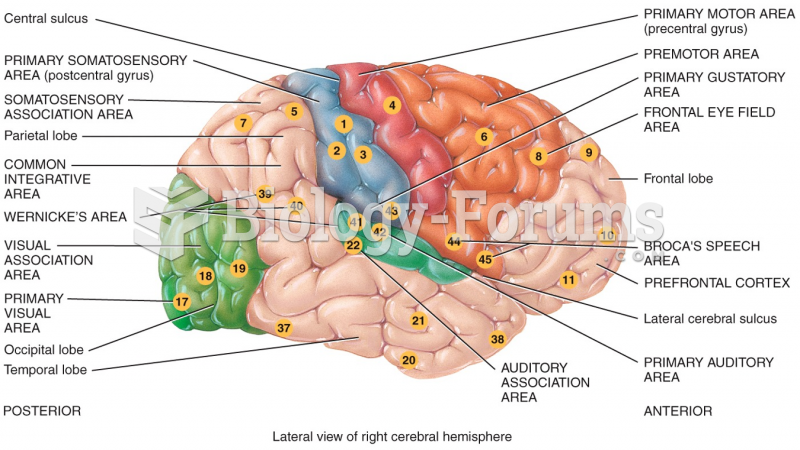 Lateral view of right cerebral hemisphere
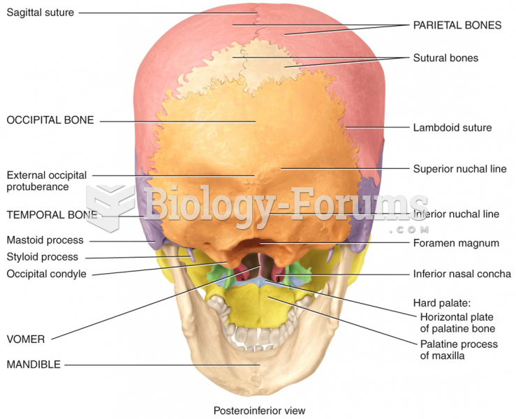 Posteroinferior view of skull
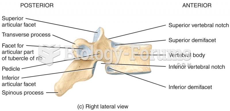 Right Lateral View of Vertebral Column
 Earth’s Early Atmosphere