This topic contains a solution. Click here to go to the answer
|
|
|

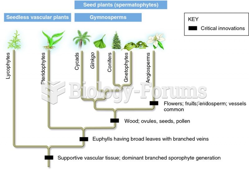 Phylogeny of modern seedless and seed plants showing critical innovations
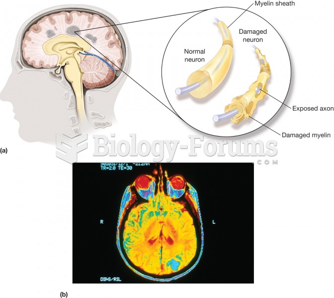 Multiple sclerosis (MS). (a) A disease characterized by the gradual development of small areas of ha
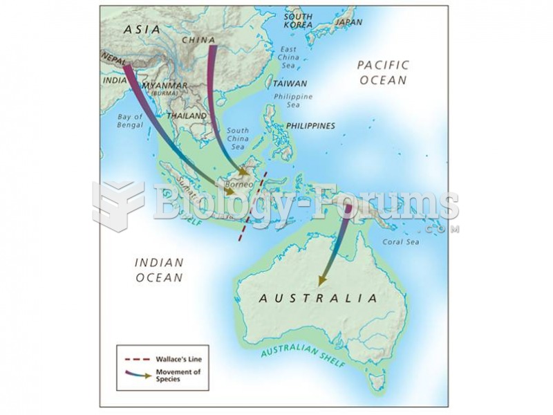 Landbridge connections between continental Asia and Indonesia during glacial periods extend as far a
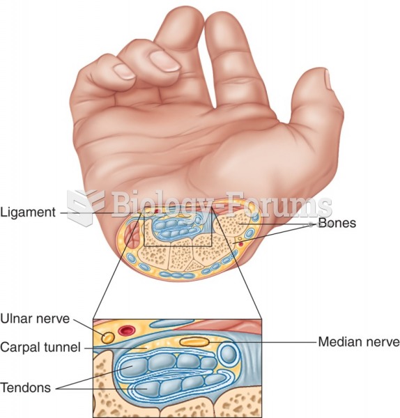 Cross section of the wrist showing tendons and nerves involved in carpal tunnel syndrome.
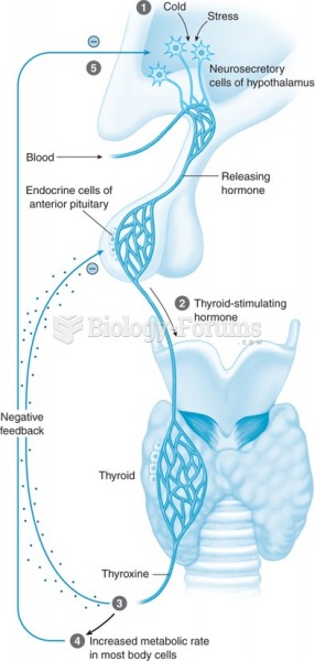 Mechanism of the thyroid gland showing a stimulus (1) that causes the release of TSH (2) and then ...
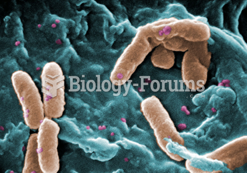 Pseudomonas aeruginosa bacteria showing rod and spore (SEM)