This topic contains a solution. Click here to go to the answer
|
|
|

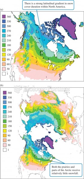 (a) Mean duration (days) and (b) average maximum depth (mm) of snow cover throughout northern latitu
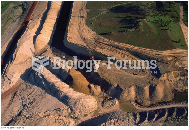 Coal Strip Mining in North Dakota
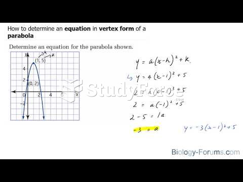 How to determine an equation in vertex form of a parabola
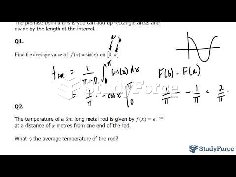 How to find the average value of a function
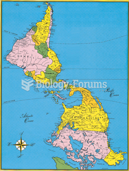 Map of North America Flipped
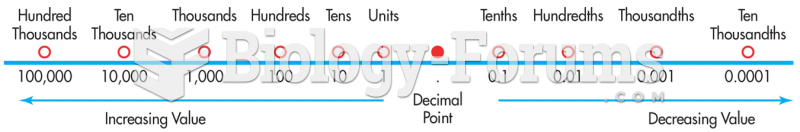 Decimal Values as They Relate to the Location of the Decimal Point