This topic contains a solution. Click here to go to the answer
|
|
|

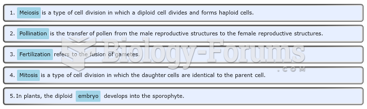 Land Plant Reproductive Terms
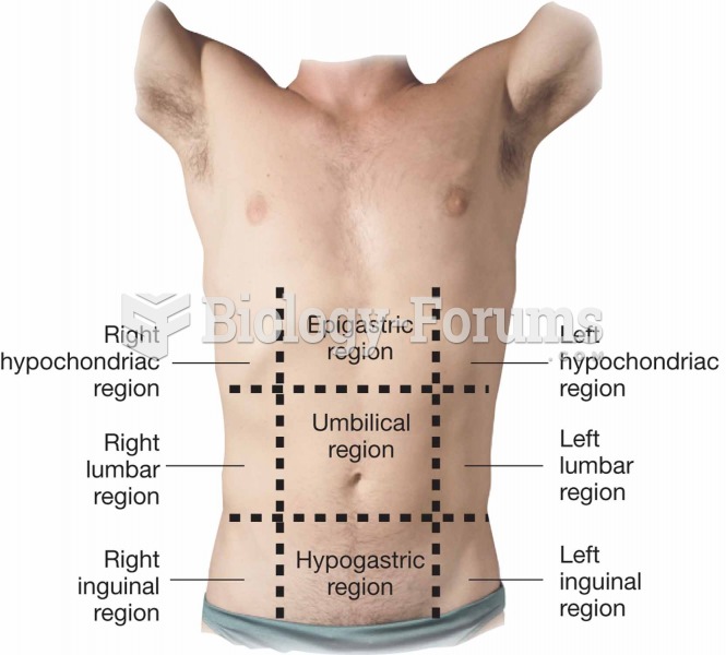 Regions of the abdominopelvic area
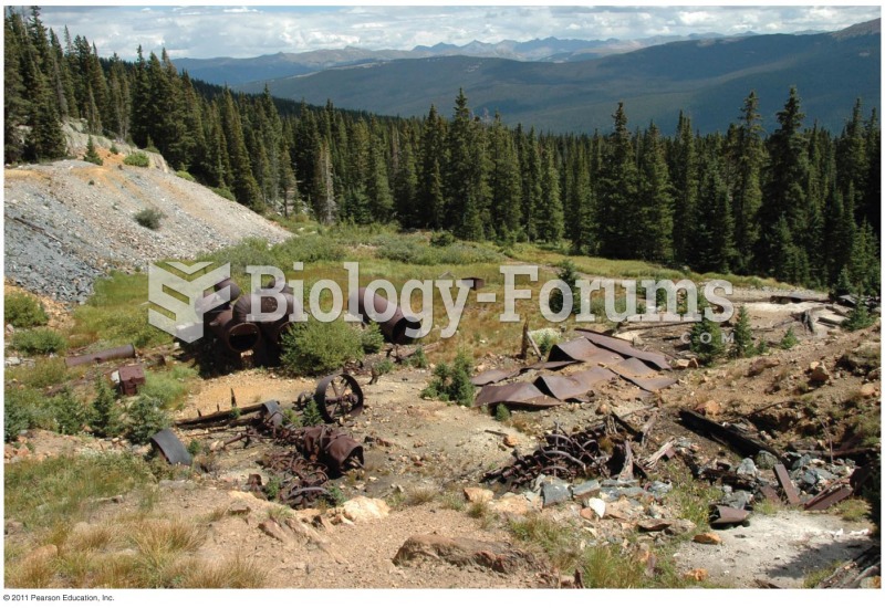 Abandoned Mine Land
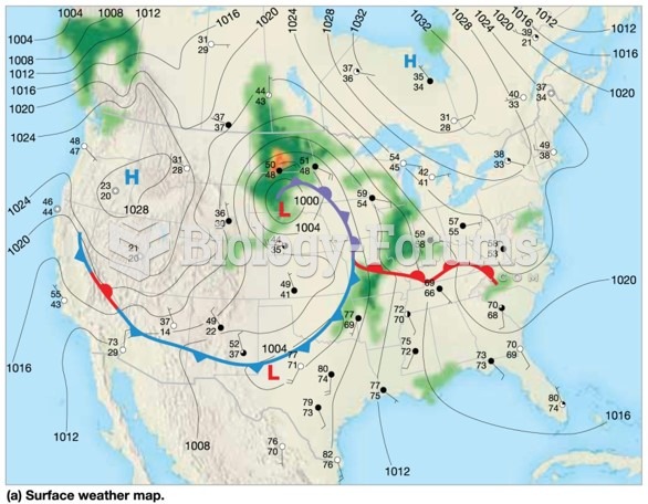 Weather maps: Pictures of the atmosphere
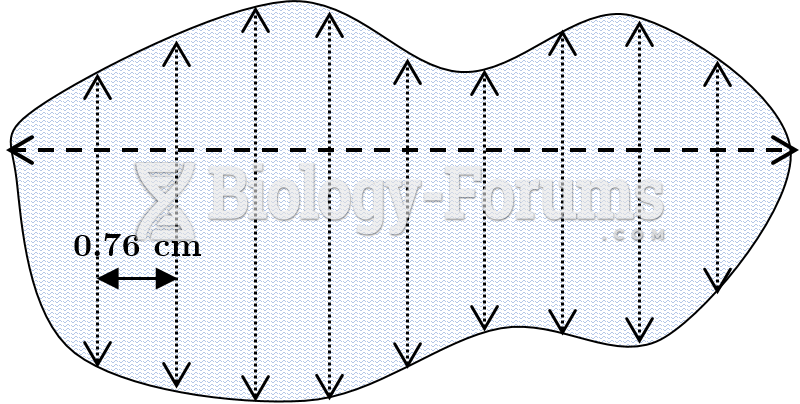 Offset Method Plot of Land with Offset Lines
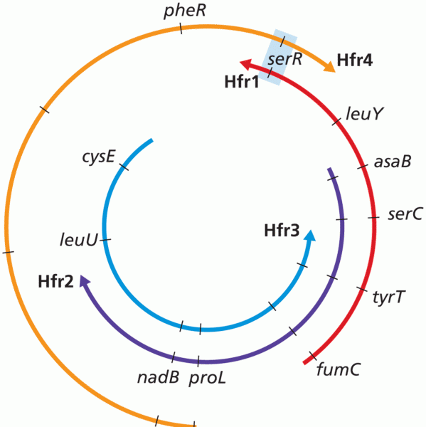 Consolidation of Hfr Maps