This topic contains a solution. Click here to go to the answer
|
|
|

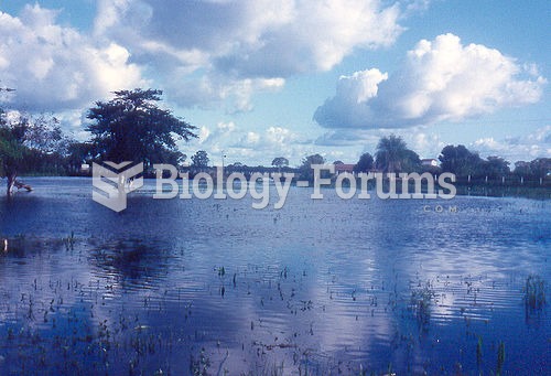 The Pantanal, Brazil, seen here in flood condition, is a critical jaguar range area.
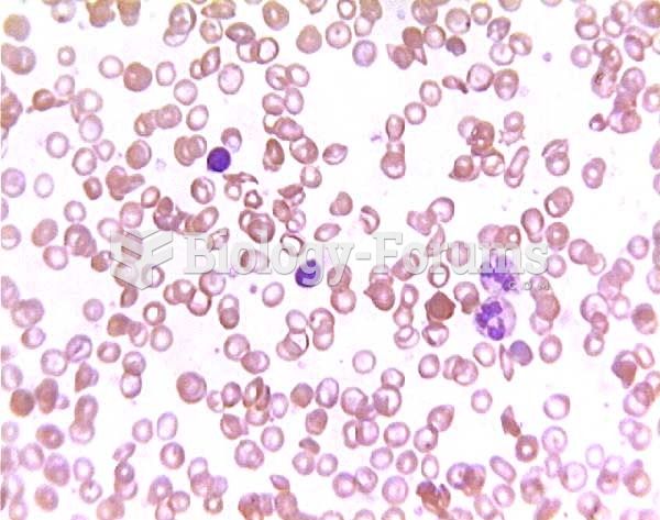 SICKLE SHAPE
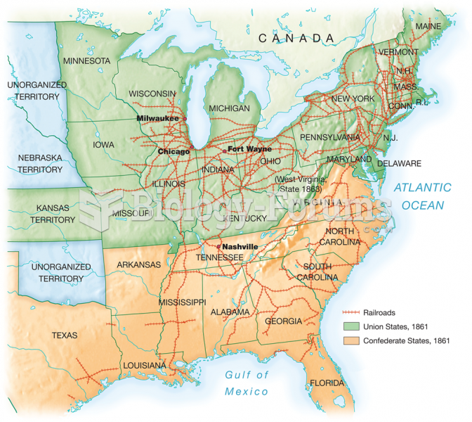 Major trunk lines carrying long-distance traffic crisscrossed the area east of the Mississippi. The
 The method of Land’s (1977) color-vision experiments. Subjects viewed Mondrians illuminated by ...
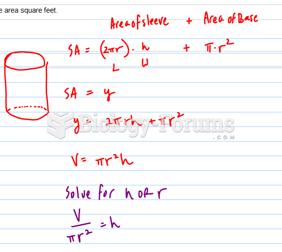 A container in the shape of a right circular cylinder with no top has surface area square feet.
 Offset Method Plot of Land