Answer to Question 1
ANSWER: Supercell thunderstorms are long-lasting violent thunderstorms, with a single rotating updraft that forms in a region of strong vertical wind shear. A rotating supercell is more likely to develop when (a) the winds aloft are strong and change direction from southerly at the surface to more westerly aloft and (b) a low-level jet exists just above the earths surface.
If the winds aloft are strong (strong shear) and change direction with height (from more southerly at the surface to more westerly aloft), the storm may move along in such a way that the outflow of cold air from the downdraft never undercuts the updraft. The wind shear may be strong enough to create horizontal spin, which when tilted into the updraft causes it to rotate. In this situation, the thunderstorm may grow into a larger, long-lasting (longer than an hour) severe storm called a supercell that has a violent updraft and a single cell.
Answer to Question 2
ANSWER: One theory proposes that clouds become electrified as graupel and hail fall through a region of supercooled droplets and ice crystals. As liquid droplets collide with a hailstone, they freeze on contact and release latent heat. This process keeps the surface of the hailstone warmer than that of the surrounding ice crystals. When the warmer hailstone comes in contact with a colder ice crystal, an important phenomenon occurs: There is a net transfer of positive ions from the warmer object to the colder object. Hence, the hailstone becomes negatively charged and the ice crystal positively charged, as the positive ions are incorporated into the ice.

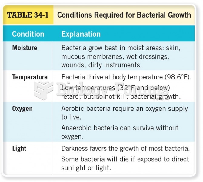 Conditions Required for Bacterial Growth
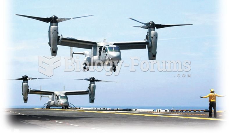 To maintain global power requires the continuous development of weapons. Shown here is the Osprey. ...
 Divergence and convergence aloft
 Knead lower leg muscles by bending the knee until the foot is flat on the supporting surface. Reach ...
 Describe the functions of fat in the body
 B Cells: Development of Self-Recognition and Self-Tolerance