Answer to Question 1
ANSWER: Student answers may vary, but include one of the following examples.
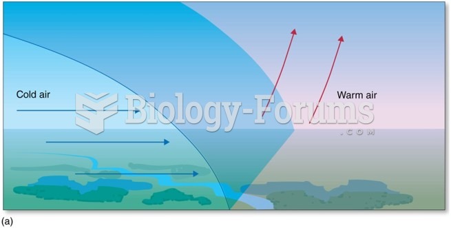
1) During the winter, a series of cold polar or arctic outbreaks may travel across the United States so quickly that warm air is unable to develop ahead of the front. In this case, frigid arctic air associated with an arctic front usually replaces cold polar air, and a drop in temperature is the only indication that a front has moved through your area. Along the West Coast, the Pacific Ocean modifies the air so much that typical cold fronts are not seen. In fact, as a cold front moves inland from the Pacific Ocean, the surface temperature contrast across the front may be quite small. Topographic features usually distort the wind pattern so much that locating the position of the front and the time of its passage is exceedingly difficult. In this case, the pressure tendency is the most reliable indication of a frontal passage.
2) In some instances along the West Coast, an approaching cold front (or upper-level trough) will cause cool marine air at the surface to surge into coastal and inland valleys. The cool air (which is often accompanied by a wind shift) may produce a sharp drop in air temperature. This may give the impression that a rather strong cold front has moved through, when in reality, the front may be many kilometers offshore.
3) Cold fronts usually move toward the south, southeast, or east. But sometimes they will move southwestward. In New England, this movement occurs when northeasterly surface winds, blowing clockwise around an anticyclone centered to the north over Canada, push a cold front southwestward, often as far south as Boston. Because the cold front moves in from the east, or northeast, it is known as a back door cold front. As the front passes, westerly surface winds usually shift to easterly or northeasterly and temperatures drop as moist maritime polar air flows in off the Atlantic Ocean.
Answer to Question 2
ANSWER: When a very cold air mass moves out of Canada into the United States the flow aloft is meridional and the upper-level pattern is wavy. Hence, the northerly winds aloft direct a cold air mass into one part of the United States while, at the same time, the southerly winds aloft direct a warm air mass into another portion of the United States.


