This topic contains a solution. Click here to go to the answer
|
|
|

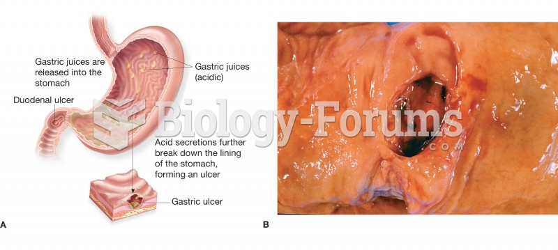 (A) Figure illustrating the location and appearance of a peptic ulcer in both the stomach and the du
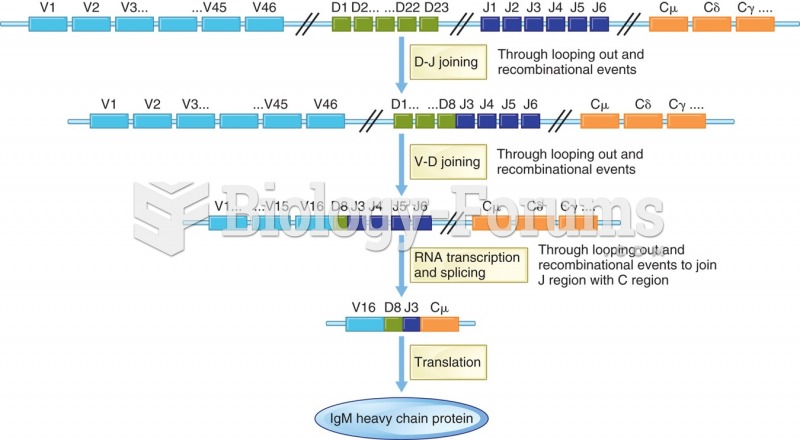 The occurrence diversity of the immunoglobulin binding site. Nonamer binding loops together sections ...
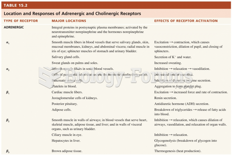 Location and Responses of Adrenergic and Cholinergic Receptors
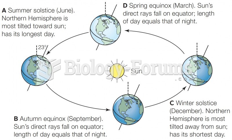 Earth’s tilt and yearly rotation around the sun cause seasonal effects. The 23° tilt of Earth’s ...
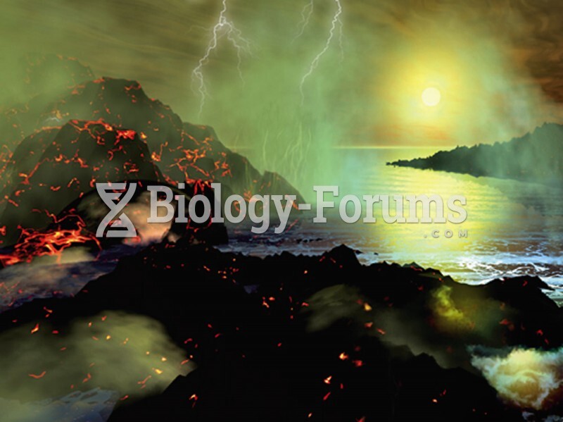 Early Earth
 Earth Present