This topic contains a solution. Click here to go to the answer
|
|
|

 The effects of epinephrine in humans
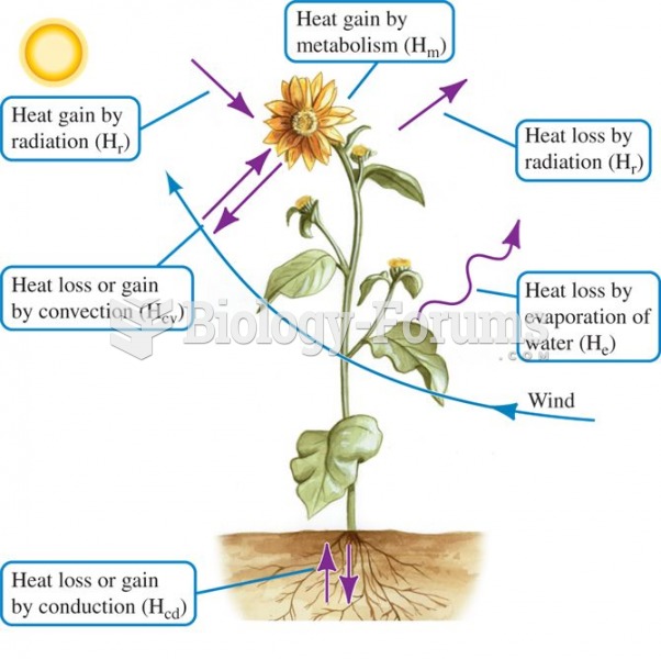 There are multiple pathways for heat exchange between organisms and the environment.
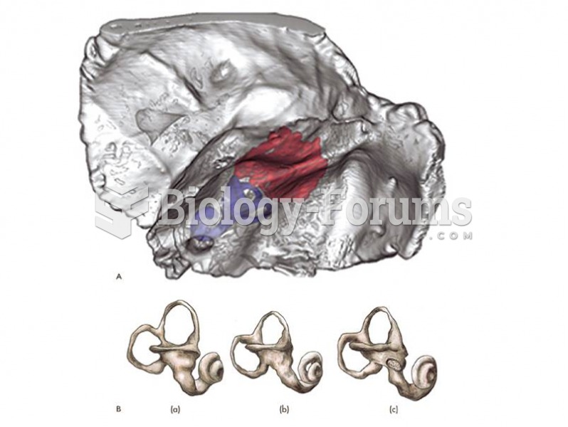 Neadertal inner ear anatomy is distinctive from modern humans.
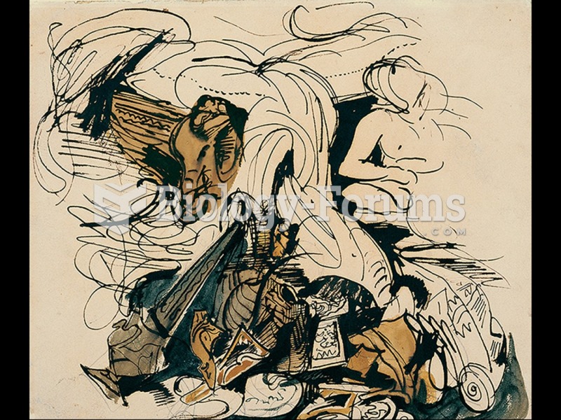 Eugène Delacroix, Study for The Death of Sardanapalus.
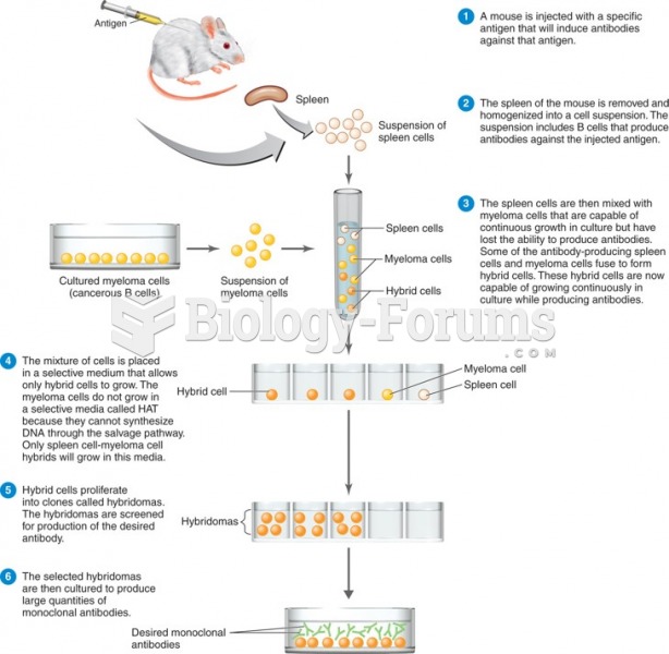 The myeloma cells do not grow in a selective media called HAT because they cannot synthesize DNA ...
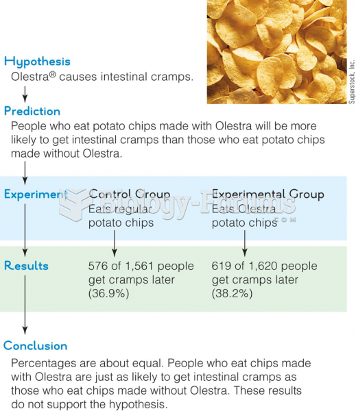 The Olestra study followed a sequence of steps