Answer to Question 1
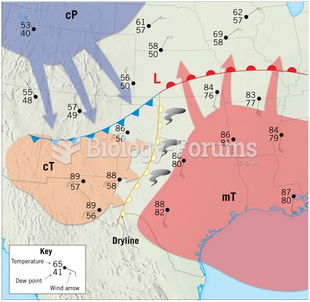
Answer: Cirrus-type clouds appear as the warm front approaches. Cloud types change from high to middle to low as the warm front gets closer. Prolonged and gentle precip may occur. As the warm front passes, temperatures and dew points increase and winds shift in a clockwise direction. The air is typically warm and unstable in the warm sector. As the cold front approaches, thunderstorms may occur. Temperatures and dew points will drop and winds will shift to northwesterly as the cold front passes.
Answer to Question 2
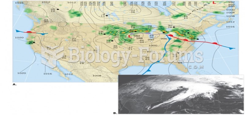
Answer: Initially, the polar front separates the cold easterlies and the warmer westerlies. As cyclogenesis begins, a minor kink develops along the boundary, and a low-pressure center begins to form. The cold air north of the front begins to push southward behind the cold front, and air behind the warm front advances northward. This creates a counterclockwise rotation (in the Northern Hemisphere) around the developing low-pressure system. With further intensification, the low pressure deepens and distinct warm and cold fronts emerge from the original polar front. Convergence associated with the low pressure can lead to uplift and cloud formation, while linear bands of deeper cloud cover develop along the frontal boundaries. Cyclogenesis along the polar front represents the initial stage in the development of a. A band of mostly cumuliform cloud cover runs along and ahead of the cold front, caused by denser, cold air displacing warm air. The likelihood of precipitation along the front increases toward the center of the low pressure, where large-scale convergence adds to the uplift caused by the meeting of the two air masses. Because of the high moisture content and generally unstable conditions typically found ahead of a cold front, precipitationin the form of rain, snow, or even sleet or hailcan be intense. But the band of cloud cover and precipitation is relatively narrow, so precipitation may last for only a brief period before the frontal zone moves on. Occlusion represents the end of the cyclone's life cycle, with an occluded front having replaced the warm and cold fronts of the mature phase. Although a temperature contrast exists across the occluded front, temperature differences here are not as great as those along the original cold or warm fronts. West of the frontal boundary, the air flows out of the northwest and is extremely cold. Slightly warmer air approaches the occluded front from the east, but this air originates in the cold sector of the cyclone. Thus, the temperature difference is less than where the fronts separate warm, tropical air from cold, polar air.


