Geographic information systems (GIS) are
a. computer programs designed to store, retrieve, analyze, and display cartographic data.
b. much more useful in fields such as geography and geology than archaeology.
c. useful for displaying archaeological data in a user-friendly format, but have little utility for data analysis.
d. useful for data analysis, but cannot be used to generate a site map.
e. are single-layer data sets constructed on computers.
Question 2
An important benefit of remote sensing techniques is that
a. they will work anywhere, and are not limited to certain geophysical conditions.
b. they can greatly reduce the need for destructive exploration techniques.
c. they are all extremely economical, and the necessary equipment is widely available.
d. they require little in the way of specialized skills or knowledge.
e. they are increasingly slow to operate which means that the data is increasingly more accurate.

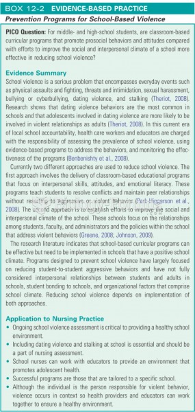 Prevention programs for school based violence
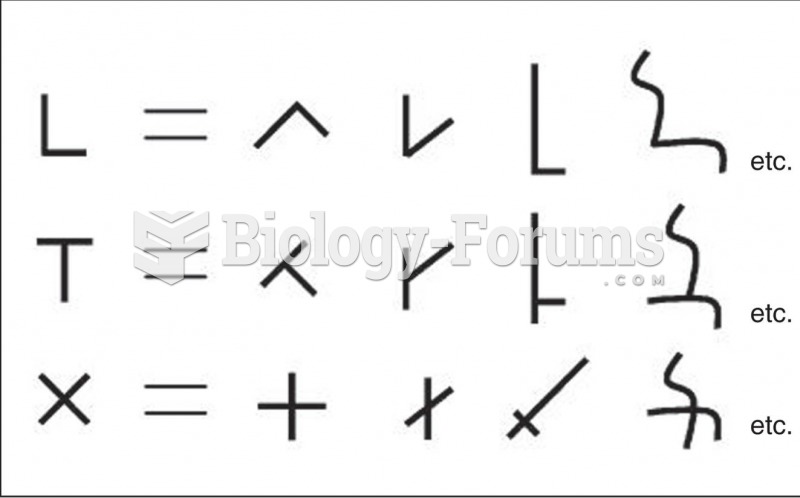 Examples of Ways That Different Types of Intersections of Two Line Segments Can Be Transformed into
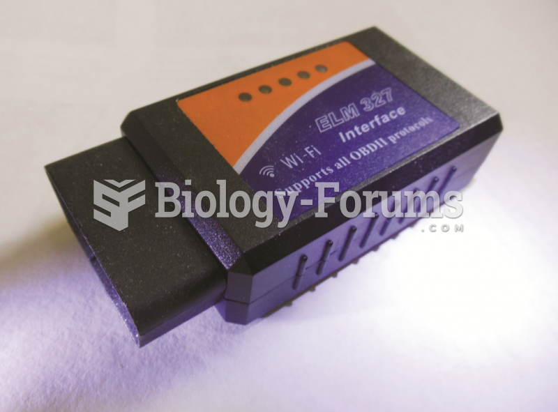 A Bluetooth adapter that plugs into the DLC and transmits global OBD II information to a smart phone ...
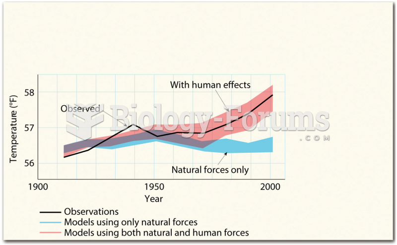 Computer Models
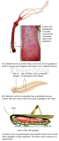 Examples of invertebrate nervous systems