This topic contains a solution. Click here to go to the answer
|
|
|

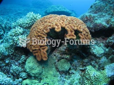 Coral in the Pacific Ocean
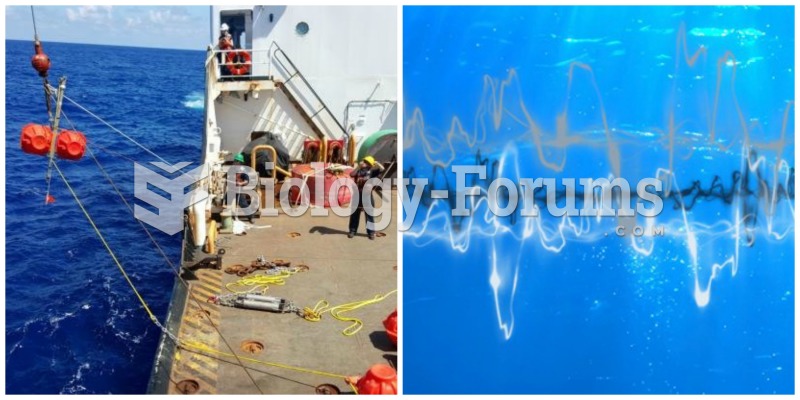 Ocean sounds
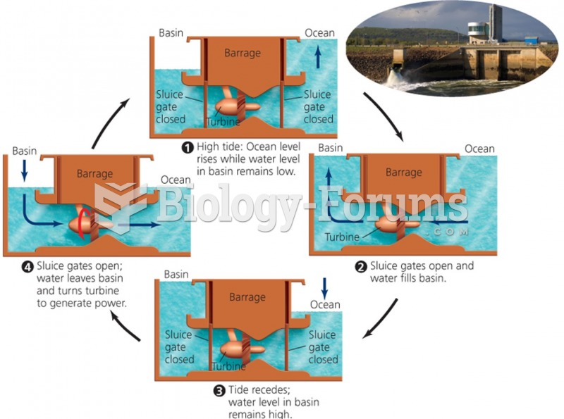 Ocean Energy
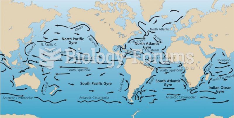 Ocean water flows vertically and horizontally, influencing climate
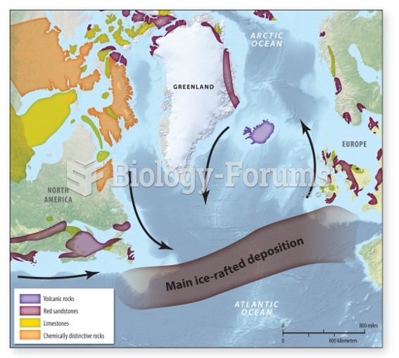 Ocean sediment cores
 CCS, BECS, biochar, cloud albedo, and ocean fertilization