Answer to Question 1
1 . Right-angle bias: People tend to think of intersections (e.g., street crossings) as forming 90-degree angles more often than the intersections really.
2 . Symmetry heuristic: People tend to think of shapes (e.g., states or countries) as being more symmetrical than they really are.
3 . Rotation heuristic: When representing figures and boundaries that are slightly slanted (i.e., oblique), people tend to distort the images as being either more vertical or more horizontal than they really are.
4 . Alignment heuristic: People tend to represent landmarks and boundaries that are slightly out of alignment by distorting their mental images to be better aligned than they really are.
5 . Relative-position heuristic: The relative positions of particular landmarks and boundaries is distorted in mental images in ways that more accurately reflect people's conceptual knowledge about the contexts in which the landmarks and boundaries are located, rather than reflecting the actual spatial configurations.
Answer to Question 2
Humans seem to use three types of knowledge when forming and using cognitive maps:
1 . Landmark knowledge is information about particular features at a location and which may be based on both imaginal and propositional representations.
2 . Route-road knowledge involves specific pathways for moving from one location to another. It may be based on both procedural knowledge and declarative knowledge.
3 . Survey knowledge involves estimated distances between landmarks, much as they might appear on survey maps. It may be represented imaginally or propositionally (e.g., in numerically specified distances).

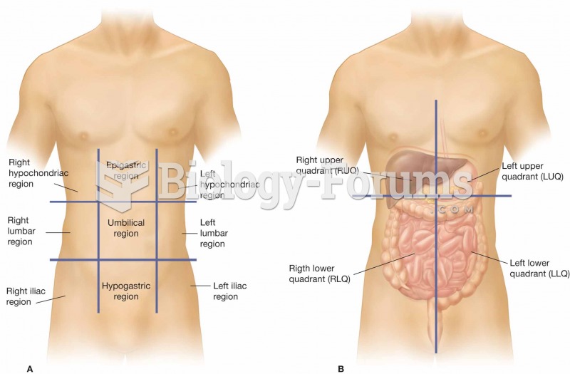 (A) The nine regions of the abdominopelvic cavity. (B) The four regions of the abdomen, which are re
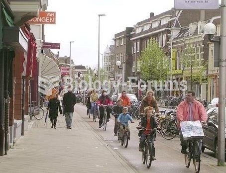 People riding bikes in Netherlands
 The world attempted to deal with Somalia as if it were a real country but painfully learned that Som
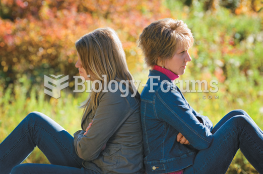 Upward social mobility, though welcome, can place people in a world so different from their world of ...
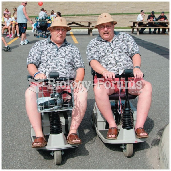 People who share genes will often have similar body weights
 People in poor, urban areas often find themselves in “food deserts"