This topic contains a solution. Click here to go to the answer
|
|
|

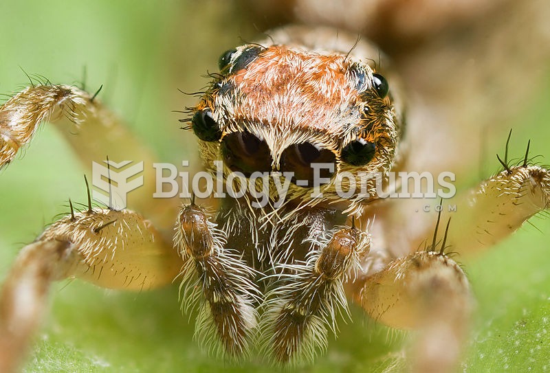 This jumping spider's main ocelli (center pair) are very acute.
 The Types of Stars and Their Sizes
 Common Types of Allergies
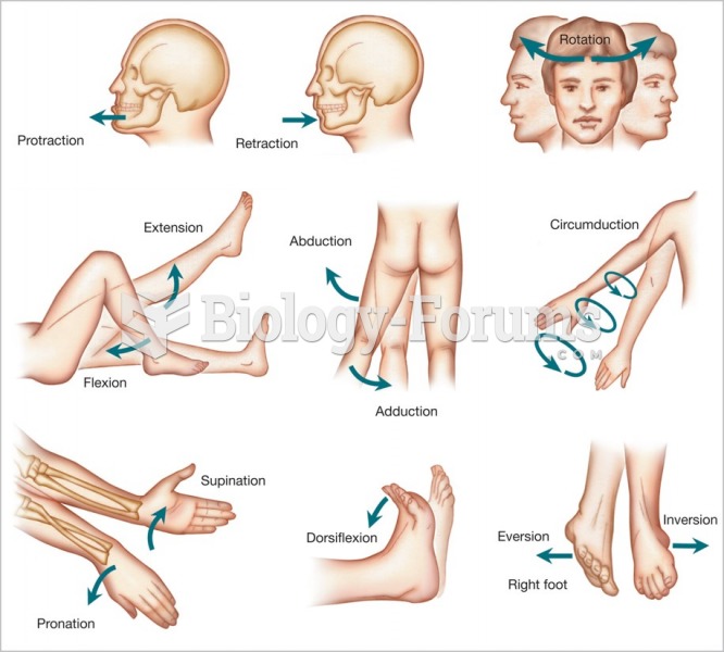 Types of body movements used in ROM assessment.
 Two common types of seed germination
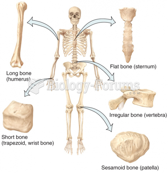 Types of Bones